Coast to Coast Walk: Official 2026 Trail Guide
The wait is over. On 26th March 2026, England’s most famous unofficial route finally became a National Trail.
The £5.5 million government upgrade brings vital new accessibility and ecological protections. However, the rugged heart of the trek remains untouched. Whether you are tackling the high fells of Cumbria or exploring newly flagged peat bogs, this definitive guide provides the verified logistics you need to successfully cross the country.
The Coast to Coast Walk is a 190-mile (306 km) long-distance trail spanning from St Bees in Cumbria to Robin Hood’s Bay in North Yorkshire. Officially designated as a National Trail in March 2026, the route typically takes 12 to 15 days to complete and traverses three major National Parks.
Key Takeaways
- Spans 190 miles from the Irish Sea to the North Sea.
- Upgraded to official National Trail status in March 2026 following a £5.5 million investment.
- Traverses the Lake District, Yorkshire Dales, and North York Moors.
- The western section through the Lake District demands the highest physical fitness.
- Walkers can collect 29 stamps using the official Coast to Coast Passport.
Quick Start: Daily Mileage Calculator
Before you book a single bed, you need a realistic plan. Use this step-by-step method to calculate your daily mileage.
- Determine your total walking days. Most people take 12 to 15 days to finish the walk.
- Divide the 190-mile total by your available days. For example, a 14-day trip requires an average of 13.5 miles per day.
- Front-load your shortest mileage days in the west. The Lake District terrain is incredibly steep and tiring.
- Increase your daily distance targets as you reach the flatter Vale of Mowbray.
- Book your accommodation to match these precise stage endpoints.
What Changed in 2026? National Trail Upgrades Explained
£5.5 Million Infrastructure Improvements
For decades, this crossing was simply a line drawn on a map. Now, it is legally recognised and protected.
The UK government invested £5.5 million to upgrade the route. This money fixed broken signage, repaired eroded paths, and improved multi-user accessibility. On 26th March 2026, it officially launched as England’s newest National Trail. Official National Trail Updates
This designation means better waymarking for you. It also guarantees local authorities have the formal funding required to keep the path safe year-round.
Habitat Protection and Accessibility
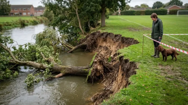
Heavy footfall damages delicate environments. The recent trail upgrades tackled this problem head-on.
In the Yorkshire Dales, a three-kilometre stone-flagged surface now covers a vulnerable peat bog in Birkdale. This intervention protects the local habitat while making the path far easier to navigate for mobility aids. Over in the Lake District, Natural England worked with partners to install new bridges and smoother surfacing around Ennerdale Water.
These changes open up sections of the trail to a wider audience. Take the Ennerdale lakeside circuit, for instance. A walker using mobility aids can now safely complete this stunning stretch without needing to drag themselves over high fells.
Route Overview: The Three National Parks
Alfred Wainwright first described this walk in his 1973 guidebook. As he famously put it, “The attraction of the walk… is the crossing of England, from one coast to the other… a terminus absolute.”
The path crosses three distinct National Parks. Each brings its own unique weather, terrain, and physical challenges.
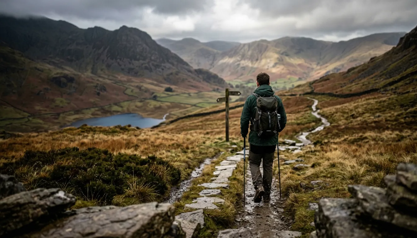
The Lake District (St Bees to Shap)
You start your journey at the Irish Sea. Tradition dictates you dip your boots in the water at St Bees before taking your first step inland.
Pace yourself carefully here. The western section through the Lake District is officially the most physically demanding part of the entire 190-mile journey.
Common mistake: Pushing too hard on day one. Budget extra time for the brutal, steep ascents around Ennerdale and Borrowdale to avoid early burnout.
The Yorkshire Dales (Shap to Richmond)
Leaving the lakes behind, the landscape shifts sharply to rolling limestone moors and deep green valleys.
Keep your eyes peeled when you reach Keld in North Yorkshire. A permanent stone marker sits here to denote the exact halfway point between the Irish Sea and the North Sea. It serves as a brilliant milestone and photo opportunity.
The North York Moors (Richmond to Robin Hood’s Bay)
The final stretch pushes you across vibrant heather moors towards the east coast.
When you finally arrive at Robin Hood’s Bay, you dip your boots one last time in the North Sea. Make sure you purchase your official Coast to Coast Passport early in your trip. It allows you to collect stamps at 29 different locations along the way and claim a hard-earned Completion Certificate at the finish line.
Route Comparison Table
| National Park | Trail Section | Terrain Difficulty | Key Highlights & Verified Upgrades |
| Lake District | West (St Bees to Shap) | High / Demanding | Ennerdale Water bridges, high fell ascents |
| Yorkshire Dales | Central (Shap to Richmond) | Moderate | Birkdale peat bog stone flags, Keld halfway marker |
| North York Moors | East (Richmond to Robin Hood’s Bay) | Moderate | Heather moors, official trail terminus |
Mid-article Summary
- The 2026 upgrades significantly improved trail accessibility and habitat protection without losing the route’s rugged challenge.
- The journey is distinctly divided by three beautiful National Parks, each demanding a different walking approach.
- Proper daily mileage planning is essential to conquer the western elevations safely and comfortably.
Essential Logistics and Route Planning
Accommodation and Baggage Transfers
Planning your stops is vital. You cannot just wing it.
Most walkers typically take between 12 to 15 days to complete the full 190-mile journey. Because of this, local B&Bs sync their availability with these standard daily stages. Book early. If you wait until spring, the best beds will vanish.
Consider a baggage transfer service. It is a game-changer. A group of moderately fit hikers recently tackled the route over 15 days, averaging 12.6 miles a day. They used daily baggage vans to shuttle their heavy gear between villages. This clever tactic let them conquer the demanding Lake District ascents carrying only light day-packs.
Wild Camping Rules in England
Pitching a tent wherever you fancy sounds romantic. The law says otherwise. In England, there are normally no automatic rights for National Trail users to wild camp along the route. Explicit landowner permission is legally required.
Use this quick decision tree to stay legal:
-
Are you planning to camp along the trail?
-
If NO: Book your B&Bs, pubs, or official campsites now.
-
If YES: Move to step two.
-
-
Do you have explicit permission from the specific landowner of the field or fell?
-
If NO: You cannot legally wild camp here. Find an official campsite.
-
If YES: You may camp. Ensure you leave absolutely no trace behind.
-
Supporting the Local Economy
Your trip matters to local communities. Over 6,000 people complete the full Coast to Coast route every year. This footfall contributes an estimated £7 million to local economies.
Small rural villages rely on this income. Skip the generic supermarket sweeps. Buy your lunch from independent farm shops in the Vale of Mowbray. Have a pint in a family-run pub. Small choices sustain the very businesses that keep the trail alive. [Supporting Local Businesses on the Trail]
The Wainwright Legacy and Passport Tradition
Alfred Wainwright shaped this entire experience. He published his famous guidebook back in 1973. While the path now boasts modern £5.5 million infrastructure, his original philosophy holds true.
“There’s no such thing as bad weather, only unsuitable clothing,” Wainwright famously noted.
Read his book before you pack. It enriches the daily slog with brilliant historical context. And do not forget your paperwork. Purchase the official Coast to Coast Passport early in your planning phase. It lets you collect unique stamps at 29 designated pubs, cafes, and shops along the way. Hand it in at Robin Hood’s Bay. They will verify your stamps and hand over an official Completion Certificate to frame at home.
End Summary
The Coast to Coast Walk offers a historic, 190-mile journey across Northern England’s most stunning environments. Thanks to its 2026 National Trail status, the path is more accessible and better protected than ever before. Yet, it remains a serious physical challenge. Plan smartly. Respect the terrain.
Next steps:
- Calculate your daily mileage based on your 12 to 15-day window.
- Secure your accommodation and baggage transfers well in advance.
- Order your official Coast to Coast Passport to track your journey.
FAQs
How long is the Coast to Coast Walk?
The trail spans 190 miles (306 km) from the west coast to the east coast of Northern England.
When did it become an official National Trail?
The route officially launched as England’s newest National Trail on 26th March 2026.
Can I wild camp along the route?
No, not automatically. In England, you must have explicit permission from the landowner to wild camp along the National Trail.
How many days does the walk take?
Most walkers complete the full journey in 12 to 15 days, depending on their fitness levels and daily mileage plans.
Which section is the hardest?
The western section running through the Lake District is considered the most physically demanding part due to its steep ascents.
What is the halfway point of the trail?
A permanent stone marker sits in Keld, North Yorkshire, marking the exact halfway point between the Irish Sea and the North Sea.
How do I get my completion certificate?
You need to purchase an official Coast to Coast Passport, collect stamps at 29 designated locations, and present it at Robin Hood’s Bay at the end of your trek.